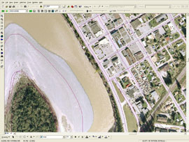
Why PurVIEW:
1. Seamlessly Integrated
2. No CAD, no translation, no retrograde
3. Geodatabase-direct editing/mapping
|
| PurVIEW |
 |
 |
|

PurVIEW
Virtual-Z 3D editing
and/or digitizing geodatabase-direct.
|
Errors, omissions and natural changes are inevitable. Revise geodatabase, in 3D, from geo-referenced stereoscopic image model—first hand.
Real-time cursor coordinate output provides 3D positional attributes—slope, azimuth, distance, area, height…
Supports:
- Aerial frame-camera image models
- RPC imbedded space-borne imagery
- ADS-40, ASTER, SPOT imagery
|
|
 |
 |
|
| |
 |
 |

Edit/digitize with Virtual-Z active over a geo-referenced image canvas and under stereo-superimposition is QA, by default.
Dynamic-3D ™
displays 2D geodatabase in 3D for stereo editing or data upgrading.
|
|
|